The structure contours are very important for understanding geologic features. They are used to demonstrate three denominational models using one denominational paper. More often the structure contouring techniques are often used to widen our understanding of sub-surface geology, but it is also equally useful in mapping non-penetrative geological features.
General Procedure
- Look for intersections between the geologic feature(s) of interest and elevation contours on the map.
- Plot as many points of intersect as possible. Higher the number of points, better accuracy for the structure contours.
- Determine the appropriate contour interval.
- Interpolate the plotted locations by connecting them using a logical process. The quantity of intersection points will directly impact the accuracy of the lines.
I usually start my structure contour lines from a location that either has a lot of intersection points or a location with the most highest geologic complexity. Be careful not to make an error in tight areas because often mistakes can go unnoticed in complex regions.
Rules of Contours
Geologists are famous for making assumptions on the fly. The assumptions we make always have some underlying set of rules. Otherwise Geology would not be a science, but an art. Let’s look at the rules we follow…(1)
- Every contour must pass between points of higher and lower elevation. In other terms, a contour line should only pass through points of intersection in equal elevation.
- Contour lines should not merge or cross except where the surface is vertical or is repeated due to overturned folding or reverse faulting. The lower set of repeated contours should be dashed.
- Contour lines should either close within the map area or be truncated by the edge of the map or by a fault. Closed depressions are indicated by hash marks (tic marks)on the low side of the inner bounding contour.
- Contour lines are repeated to indicate reversals in the slope direction. Rarely will a contour ever fall exactly on the crest or trough of a structure.
- Faults cause breaks in a continuous map surface. Normal separation faults cause gaps in the contoured horizon, reverse separation faults cause overlapping contoursand vertical faults cause linear discontinuities in elevation. Where beds are repeated by reverse faulting, it will usually be clearer to prepare separate maps for the hangingwall and footwall.
- The map should honor the trend or trends present in the area. Crestal traces, trough traces, fold hinges and inflection lines usually form straight lines or smooth curvesas appropriate for the structural style.
Errors in Contours
There is a great deal of interpretation and judgement involved in when deciding on where the lines should go on the map. Even with advanced algorithms used for sanitation of data in geological software, there is always a possibility for errors. The ambiguity of data could lead to different structural styles in contouring. 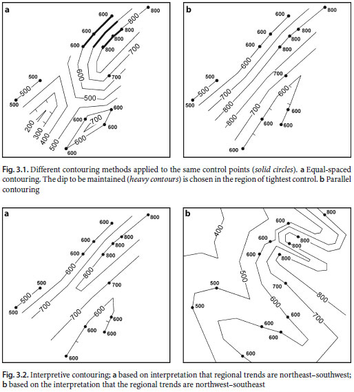
References
1. 3D Structural Geology; A Piratical Guide to Quantitative Surface and Subsurface Map Interpretation SE; Groshong, Jr., 2006